Geographic location
The territory Souss Sahara Atlantique is located in the south of the country. It covers an area of about 339,915 km², or 34% of the national territory.
Tourist resources
Stretching from the south of the High Atlas to the Western Sahara, this vast territory has a great variety of natural resources, which it draws from the diversity of its geographical environments: its sea front more than 700 kilometers long, Which is home to many exceptional beaches and attractive seaside resorts like Agadir; Its hinterland of plains, caves, oases and palm groves. To this unique natural environment is added a multitude of cultural resources, with numerous historical and archaeological sites, kasbahs, souks, ramparts and medinas, some of which are part of the Kingdom’s international tourist and cultural sites.
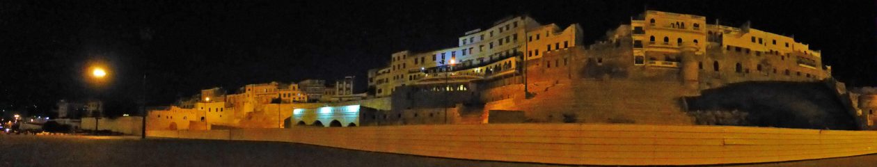
Walled medina’s
The territory ‘Souss Sahara Atlantique’ has a rich diversity of walled Medina’s (blue marked) and other places which are very interesting to visit:
| City | Census | Administrative Region |
| Inezgane Ait Melloul | 385,612 | Souss-Massa |
| Agadir (-Ida Ou Tanan) | 421.884 | Souss-Massa |
| Tiznit | 82.858 | Souss-Massa |
| Taroudant | 80.046 | Souss-Massa |
| Tafraoute | 6,345 | Souss-Massa |
| Tan-Tan | 73,209 | Guelmim-Oued Noun |
| Sidi Ifni | 21,618 | Guelmim-Oued Noun |
National parks
Souss-Massa National Park
Tamri National Park
Khenifiss National Park
Iriqui National Park
Valleys
Paradise Valley